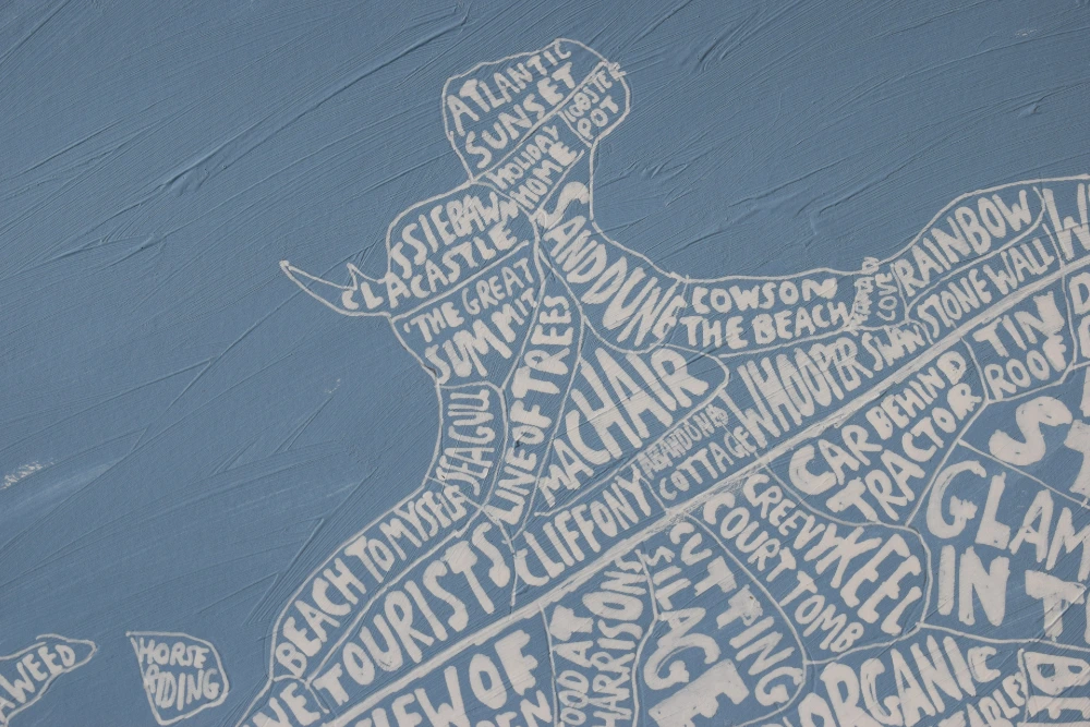
As you might have noticed, I like maps!
It mainly started off as a way for me to discover a bit more about the world, and to add a bit of order to things. For me they are a little bit like a notebook.
I also like to make something that will add a bit of colour and fun. I’m not so much into accurate and scientific maps and leave that to Google or the Ordance survey!
I’m always interested in making something similar for new places….towns, villages, parishes, townlands, islands. So if you’re interested in getting a map made for somewhere please feel free to get in touch!
Town Maps


Fun and colourful little town maps. I can make them big as well!
Black and White


I use black and white a lot as I think it’s option that works best on different coloured walls.
The words are usually based on ‘regions’ in the map. So it might be region|province|county of a country or maybe parish divisions. I then have a look on social media or the internet to see if anything catches my eye within the region. If there is special information that someone would like added I can put that in as well.
The map doesn’t have to be black and white, I can paint it any colour to match a space.

Old Book Pages
A bit of a variation on the black and white angle is black and white painted on some old book pages.
I like to try to get a book that matches the subject being painted. Like a classic cookery book about France for the French Food map or a book about Inishmore for the Aran Islands map


Multicoloured Maps
Then there are the multicoloured, bright maybe slightly over the top maps!
I often try to use the colours of the national or regional flag as my guide which can lead to some weird colour combinations.


Anyway, the point of this page is to say that if you’ve any other projects or places for me to explore I’d love to hear from you!
