I love exploring Ireland (and the world!) with maps.
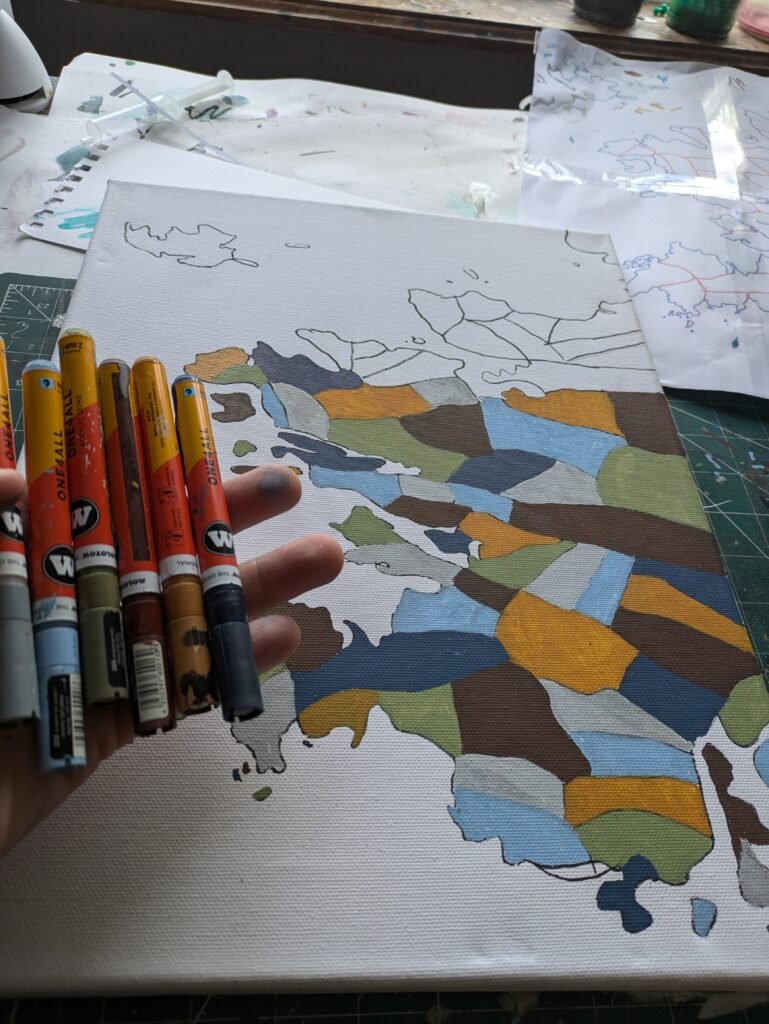
This page contain some examples of maps I’ve hand painted or drawn before. They range from islands, peninsula, parishes and stretches of coastline, world countries and even the world.
They would have been painted with acrylic or watercolour paint on paper or stretched canvas (which means it’s ready to hang up without getting a frame).
I can probably adapt or remake a version with different colours if there is a part of the world you would like mapped. Maybe your townland, a village you love, a part of the world you love going to on holidays?
If you’re interested in getting a map made I’d love to hear from you!
Maps with Physical Features


Word Art Maps


Coastline Chart Inspired


