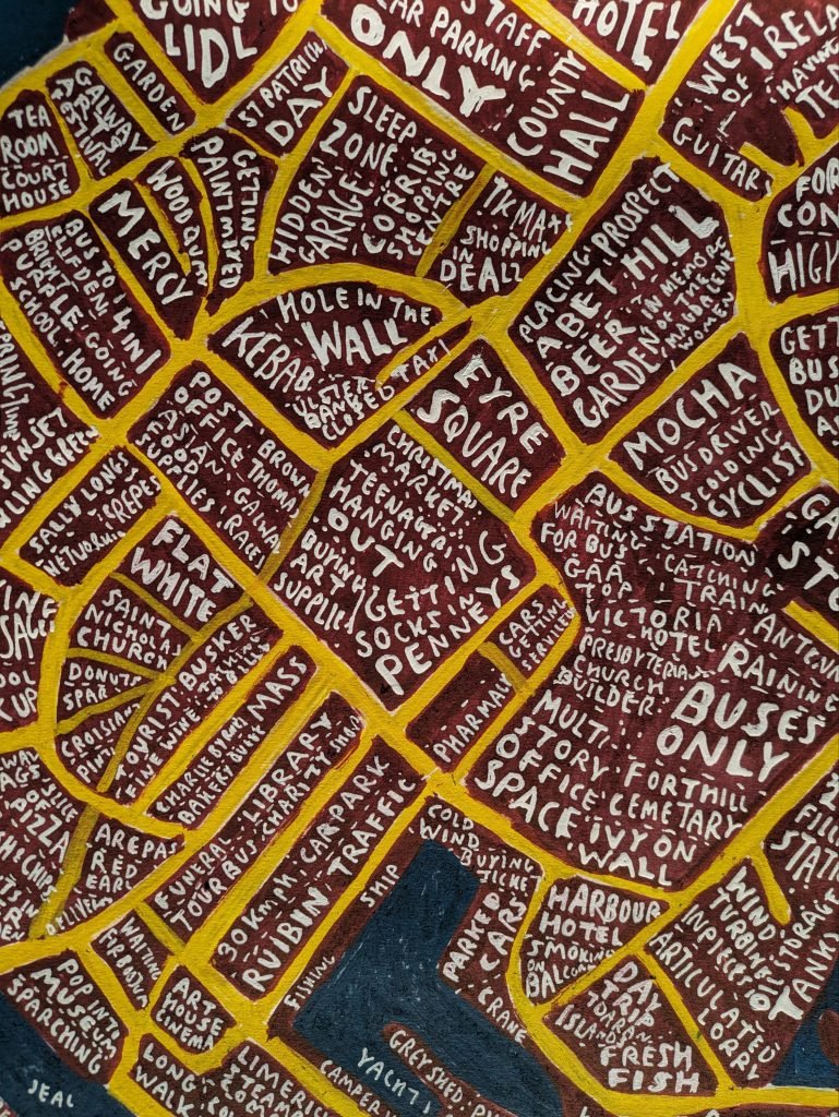
I’ve hand painted a lot of maps over the last 10yrs so here are some previous maps.
Because I was never planning on making them into prints I rarely took good quality photos, if any.


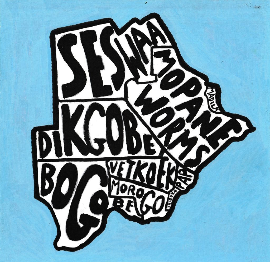
I’ve hand painted a lot of maps over the last 10yrs so here are some previous maps.
Because I was never planning on making them into prints I rarely took good quality photos, if any.