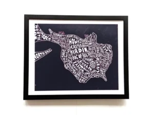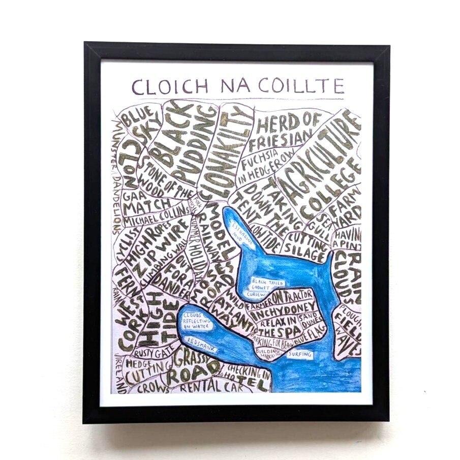
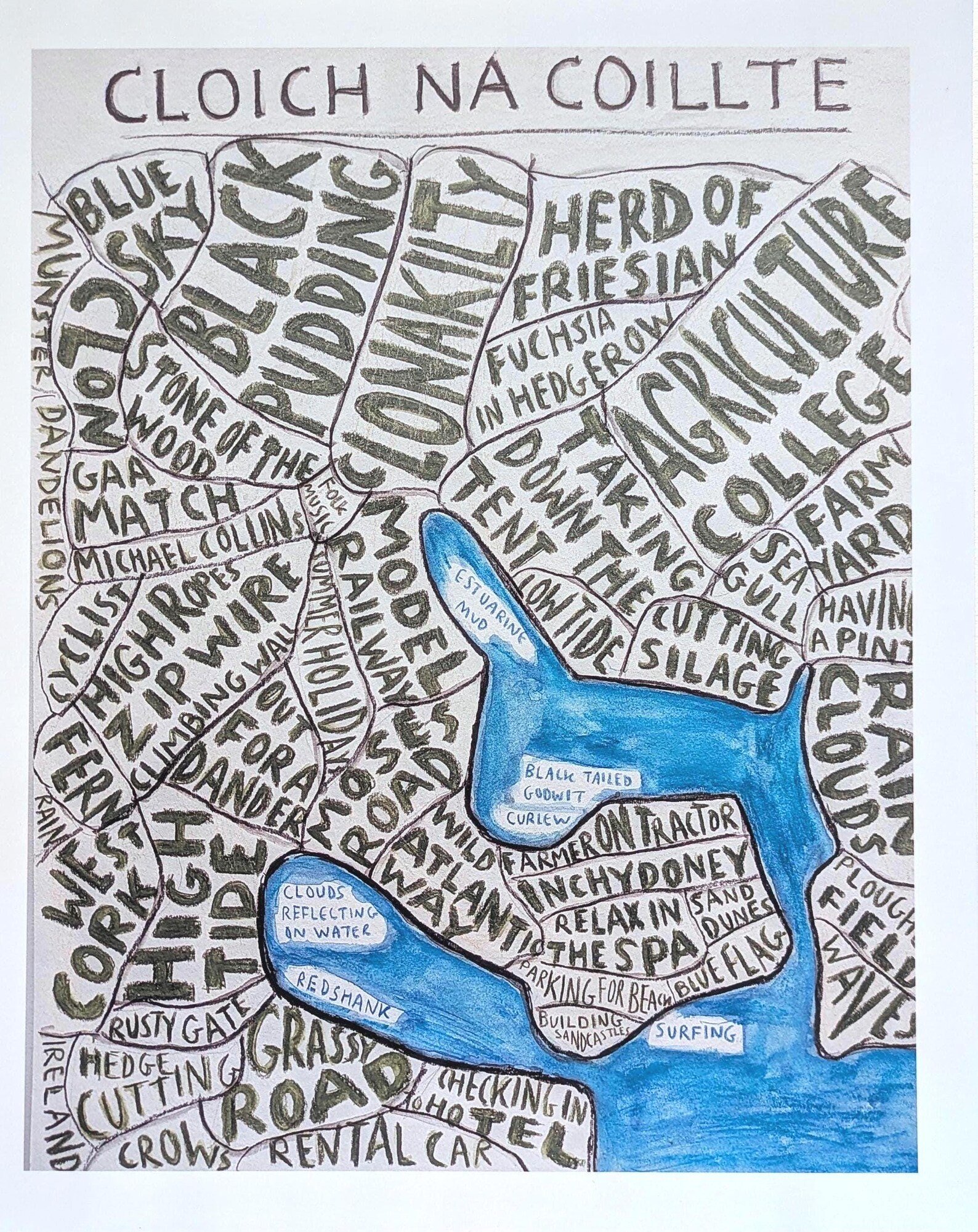
A map of Clonakilty,
Cloich na coillte, stone (castle) of the wood, black pudding, Wild Atlantic Way, farmer on tractor, surfing, blue flag, surfing, Muckross Head, relax in the spa…and more.
Some information about the print:-
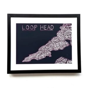
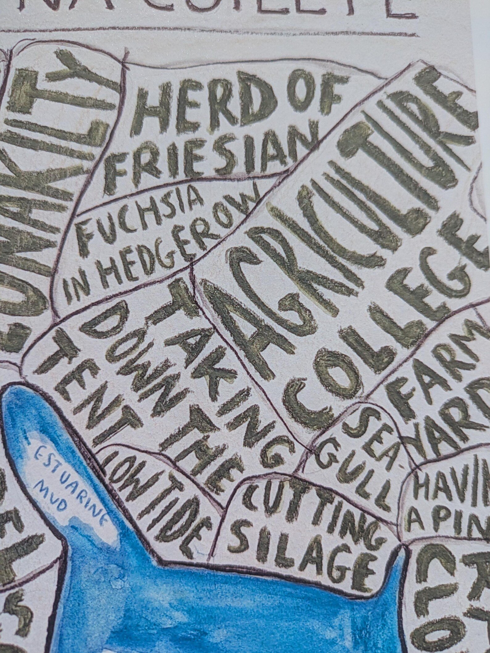
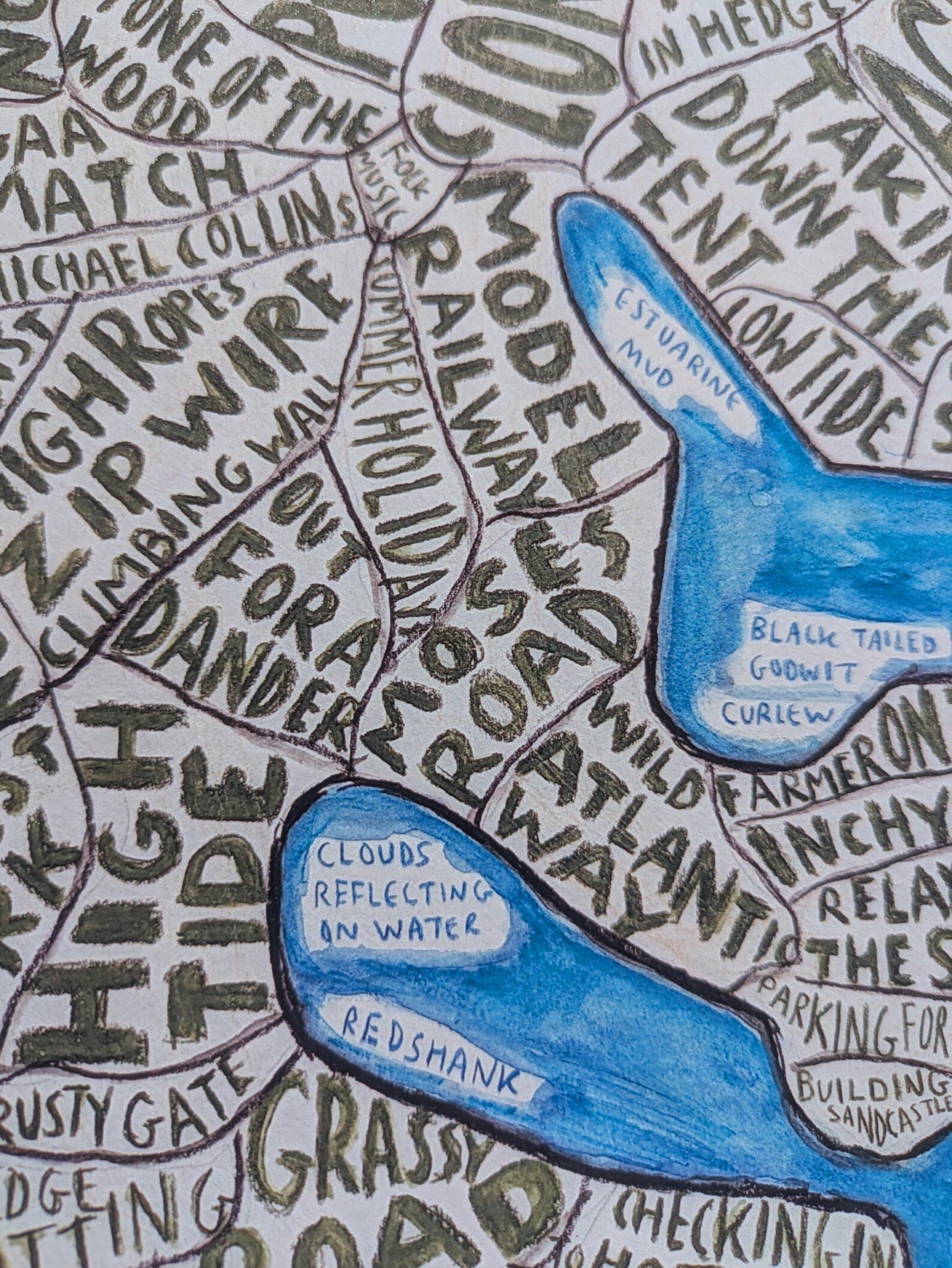
The print is based on a hand painted version of the map that I’ve been making over the last number of years. Because the maps were originally hand painted and not computer generated you might notice some things are slightly ‘scruffy’ with pencils marks showing or washed out colours. I’m sort of after that look in my work, they aren’t supposed to be a purely scientific and technical map.
On the other hand I try not to make spelling mistakes but sometimes do! So if you spot something wrong let me know and I’ll try to fix it.
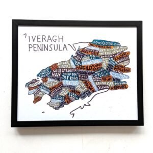
To keep the colours bright and vibrant I’ve been mostly using a luster|semi-gloss photo paper, but I know that some people prefer the flatter less shiny look of matte paper. So you can choose which paper finish you prefer.
To fulfil most orders I mostly use a print on demand company.
The main reason for this is to avoid US tariffs and keep delivery costs down,
to navigate EU packaging regulations in places like France and Germany,
to be able to provide a tracking number,
and to reduce the environmental impact.
It also allows me to keep the shop open if I have to be away from my home printer for a period of time which may happen a bit in 2026.
The printing company will take on average 2 -5days to fulfill and post the order, then it will take anything from 2 -10 days to deliver it depending on where you live. For somewhere like Great Britain it might take a week or less, maybe quicker.
I will sometimes print items myself, particularly for orders here in the Republic of Ireland, some EU countries and UK. I use untracked shipping for these orders as tracked shipping is expensive here in Ireland plus it takes longer to arrive.
The company may post your print rolled up in a postal tube depending on your location.
Due to differences in screen settings etc the colour of the actual print may vary slightly from what you see on your screen.
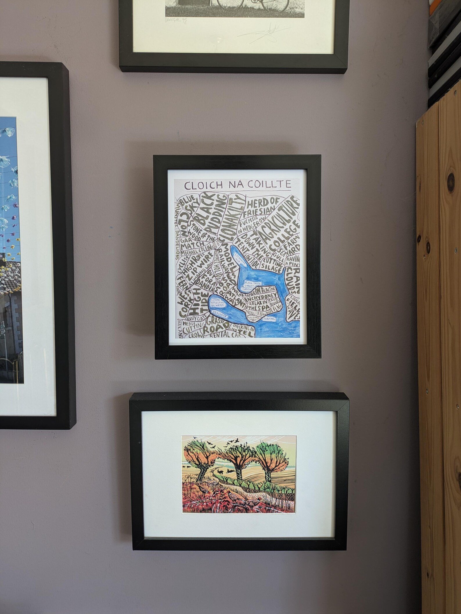
Frame not included.
Thanks for having a look!